


GeoPoint K-PAD V5.0
GeoPoint K-PAD V5.0 is a GNSS surveying and mapping andriod software.
-
catalog
FEATURES
GeoPoint K-PAD V5.0 is a GNSS surveying and mapping andriod software. It was designed for Land Surveying, Civil Engineering, Construction Staking professionals to provide unequalled data collection simplicity and field calculating performance.
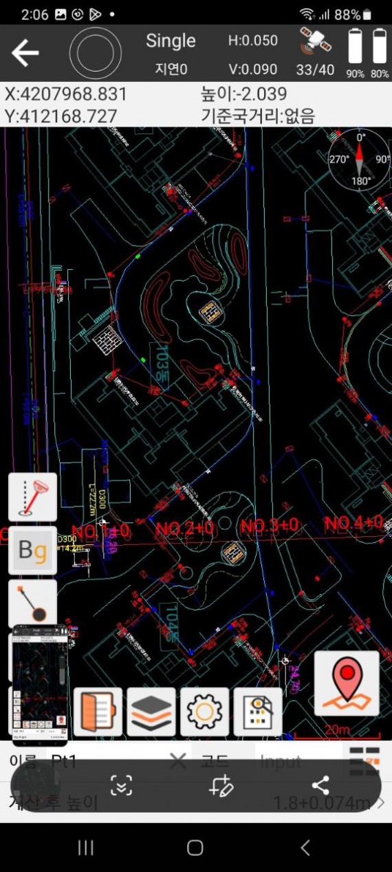
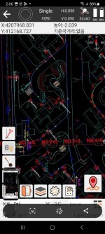
GeoPoint K-PAD V5.0 integrates RTK control, GIS data collection, road design and layout.
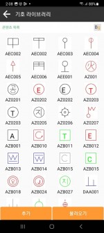
GeoPoint K-PAD V5.0 software has outstanding graphic interaction, powerful functions and humanized operation:
Advanced roading, surfacing, slope staking, smart points.
DXF & LandXML import/export, and full RTK support.
Local Geoid File and Grid file support.
Graphical staking in grid, compass and map views.
Full RTK GNSS support.
Multiple language.
Powerful CAD function.
Multiple coordinate system.
Road design and stakeout.
Powerful COGO tool.
FTP shared data.
Dynamic toolbar.
SPECIFICATIONS
PACKAGING
