


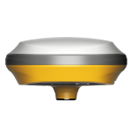
E100
NETWORK RTK RECEIVER
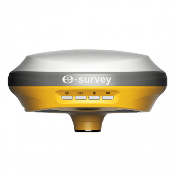
The eSurvey E100 is a network receiver that will get more done faster than you thought possible. This entry-level GNSS solution handles multiple frequencies from multiple constellations, improving position accuracy. Thanks to its ultra-compact design and built-in RTK assistant function, the E100 is an ideal rover station receiver for a CORS system. The E100 is suitable for different applications such as car and machine control.
FEATURES
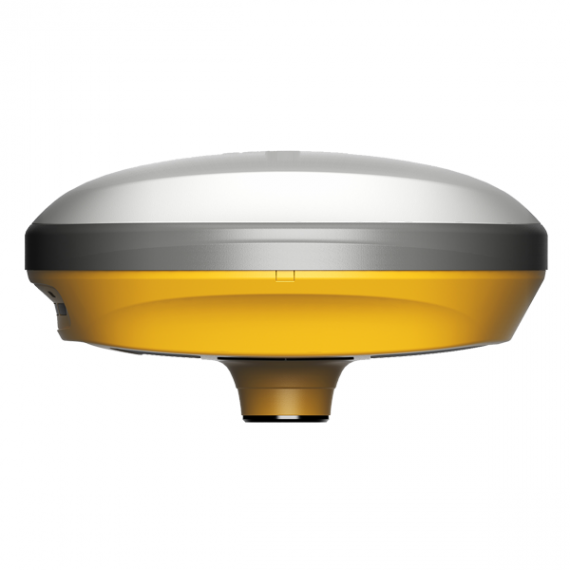
Compact Design: Easy to Carry
Easily carry it in a variety of complex environments, benefiting from its lightweight and compact design.
Intelligent Voice
The E100 can automatically broadcast a voice alert to the user when the solution status changes. It also manually broadcasts the current working mode and solution status by short-pressing the power button.
Web UI
It allows users to view position status, set up working mode, download data, and update firmware from the Web user interface with any smartphone, tablet, or PC.
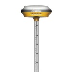
Max 60° Tilt Survey: A Different Way of Working
· Quickly measure accurate points while standing or walking without leveling the pole.
· Concentrate on where the pole tip needs to go, which is especially useful during a stakeout.
· Easily start a survey in environments that are hard to reach, such as building corners and slopes.
· No longer worry about the movement of the pole when measuring, provided that the pole tip is stationary.
RTK Aid Function: Uninterrupted Work
Work without interruption even when RTK corrections fail, powered by our RTK aid function.
Rugged Design
The main body of the E100 is made of magnesium alloy materials which has strong shock and vibration resistance. IP67 certification ensures operation in variety of tough environments.
SPECIFICATIONS
|
GNSS
Performance |
E100 |
|
|
Satellites tracking |
GPS |
L1CA, L2P(Y), L2C, L5 |
|
BDS |
B1I, B2I, B3I, B1C, B2a, B2b1 |
|
|
GLONASS |
L1, L2 |
|
|
GALILEO |
E1, E5a, E5b, E61 |
|
|
QZSS |
L1, L2, L5, L61 |
|
|
IRNSS |
× |
|
|
SBAS |
WAAS, GAGAN, MSAS, EGNOS, SDCM,
BDS |
|
|
L-Band |
B2b PPP (Only for the Asian-Pacific
region) |
|
|
Channels |
1408 |
|
|
Signal reacquisition |
× |
|
|
Cold start |
< 30 seconds |
|
|
Warm start |
< 20 seconds |
|
|
Hot start |
< 5 seconds |
|
|
RTK signal initialization |
< 5 seconds |
|
|
Initialization reliability |
> 99.9% |
|
|
Update rate |
20 Hz |
|
|
High precision static |
- H: 2.5 mm + 0.1 ppm (RMS) - V: 3.5 mm + 0.4 ppm (RMS) |
|
|
Static and Fast Static |
- H: 3 mm + 0.5 ppm (RMS) - V: 5 mm + 0.5 ppm (RMS) |
|
|
RTK |
- H: 5 mm + 0.5 ppm (RMS) - V: 10 mm+0.5 ppm (RMS) |
|
|
Standard point positioning |
- H: 1.5 m (RMS) - V: 2.5 m (RMS) |
|
|
Code differential |
- H: 0.4 m (RMS) - V: 0.8 m (RMS) |
|
|
SBAS |
- H: 0.3 m (RMS) - V: 0.6 m (RMS) |
|
|
Correction data |
RTCM V3.X, RTCM2, CMR |
|
|
Data output |
GGA, ZDA, GSA, GSV, GST, VTG,
RMC, GLL, Binary |
|
|
Power Supply |
||
|
Battery |
Rechargeable Built-in Lithium-ion battery x 1 7.2 V ~ 6900 mAh |
|
|
Voltage |
9 - 28V dc |
|
|
Working time |
Up to 9 hours as a rover |
|
|
Charging time |
Typically 4 hours |
|
|
Internet
Modem |
||
|
Supported band |
Global 4G - LTE FDD: B1, B2, B3, B4, B5,
B7, B8, B12, B13, B18, B19, B20, B25, B26, B28 - LTE TDD: B38, B39, B40, B41 - UMTS: B1, B2, B4, B5, B6, B8,
B19 - GSM: B2, B3, B5, B8 |
|
|
System |
||
|
Operation system |
Linux |
|
|
Internal memory |
8 GB |
|
|
Bluetooth |
BT 5.0 + EDR, BLE |
|
|
Wi-Fi |
802.11a/b/g/n/ac |
|
|
SIM card |
yes |
|
|
TF card |
× |
|
|
TNC |
× |
|
|
5-pin port |
Connect to external radio and
external power; NMEA output |
|
|
7-pin port |
× |
|
|
Type-C port |
Charge and data transmission |
|
|
Web UI |
View status, update firmware, set
up working mode, download data, etc. |
|
|
Intelligent voice |
Broadcast working mode and status |
|
|
MEMS |
Fast initialization, dynamic tilt
survey up to 60° |
|
|
Physical |
||
|
Dimension |
148 mm x 77 mm |
|
|
Weight |
900 g |
|
|
Operating temperature |
-30℃ - +65℃ |
|
|
Storage temperature |
-40℃ -
+80℃ |
|
|
Water/dustproof |
IP67 |
|
|
Shock |
- Withstand topple over from a 2
m survey pole onto hard surfaces - Survive a 1.2 m free drop |
|
|
Vibration |
Vibration resistant |
|
|
Humidity |
Up to 100% |
|
|
Indicators |
Satellites, datalink, battery,
Bluetooth |
|
|
Button |
The power button, short press to
voice broadcast working mode and status |
|
|
Screen |
× |
|
|
Certificate |
CE, FCC, NGS, IGS |
|
|
Internal
Radio |
||
|
Type |
× |
|
|
Emitting power |
× |
|
|
Operation range |
× |
|
|
Frequency range |
× |
|
|
Channel spacing |
× |
|
|
Protocol |
× |
|
PACKAGING
